Such a thorough examination has never been performed before. This is what we breathe in Europe
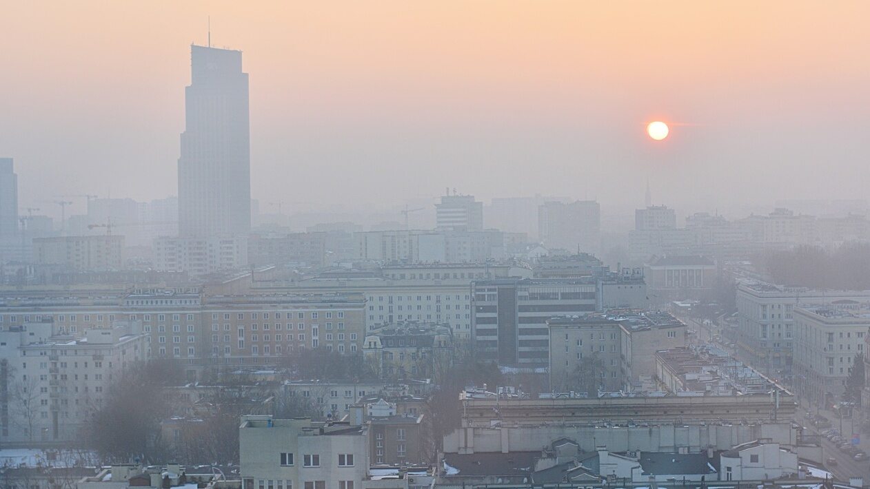
98 percent Europeans breathe highly polluted air, according to a study carried out as part of the Expanse project. Where does Poland rank?
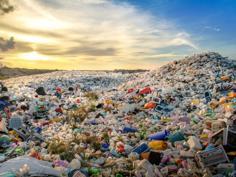
The Guardian worked with environmental experts to create an interactive map showing the most polluted areas in Europe. The measurements refer to PM2.5 – tiny particles floating in the air, which are produced mainly as a result of the combustion of fossil fuels. Some of them can get through the lungs into the bloodstream, affecting almost every organ in the body, also exacerbating existing diseases. According to experts, air pollution in Europe is related to 400,000 deaths per year on a continental scale.
The results are terrifying. In 2019, only 2 percent of the European population lived in areas that were within the WHO guidelines for permissible concentrations of PM2.5 per cubic meter. A safe average annual concentration is considered to be 5 micrograms per cubic meter (according to guidelines updated in 2021).
Dangerous concentrations of PM2.5.
The data shows, among other things, that almost all residents of seven Eastern European countries – Serbia, Romania, Albania, North Macedonia, Poland, Slovakia and Hungary – exceed the WHO guidelines twice. North Macedonia and its capital, Skopje, are definitely the worst in the ranking. Sweden is at the opposite extreme. There is no area where PM2.5 levels exceed twice the value indicated by WHO. Some areas in northern Scotland are among the few in Europe where levels of dangerous aerosols are even lower.
In Eastern Europe the situation is much worse than in Western Europe, with the exception of Italy. More than one third of the inhabitants of the Po Plain and surrounding areas in the north of the country breathe air four times more polluted than recommended by WHO.
Roel Vermeulen, a professor of environmental epidemiology at Utrecht University who led a team of researchers across the continent, said it was a “serious public health crisis.”
The data were compiled by scientists from the University of Utrecht in the Netherlands and the Swiss Institute of Tropical and Public Health as part of the Expanse project funded by the European Union. Researchers used a combination of sources, from high-resolution satellite imagery to pollution monitoring stations and land use information, to model the average annual level of PM2.5 across Europe in 2019.
It is one of the most accurate and comprehensive pictures of air pollution in Europe to date. According to the authors, the results have not changed significantly over the four years, although there may be areas where radical improvement programs have been implemented.